Gallery and Map of Public Art
Loading map...
Expand Map
-
 Abinojii Mikanah (formerly Bishop Grandin) Overpass and Chancellor Station
(Un)Still Life with Spoked Wheels
-
 Assiniboine Park, north of walking bridge
Agassiz Ice
-
 Transcona Centennial Square, Regent Avenue at Bond Street
Archambault Performance Pavilion
-
 BLUE Rapid Transit Line
Connecting Roots Along the Red River: Public Art on the BLUE Rapid Transit Line
-
 McGillivray overpass and Seel Station
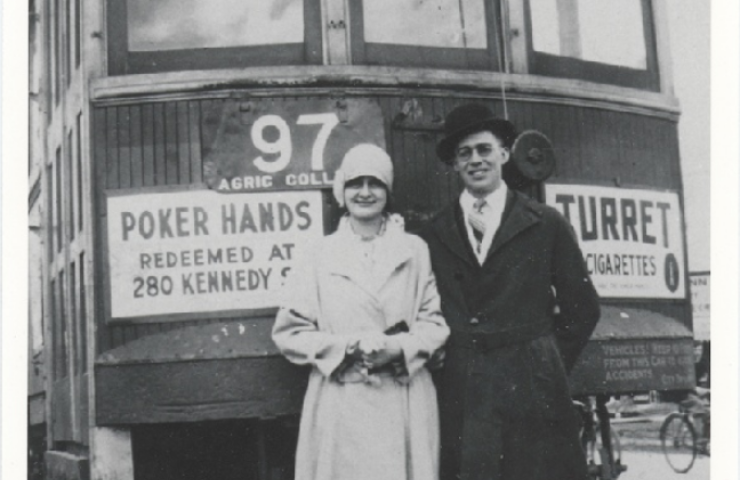
Furrows on the Land (The Field) / Furrows in the Land (The Wheel)
-
 Waterfront Drive
High Five
-
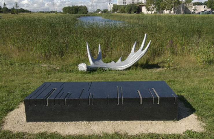 Awasisak Mēskanow (formerly Bishop Grandin Greenway), near NW corner of Abinojii Mikanah (formerly Bishop Grandin) & St. Anne's Road
land/mark
-
 Northeast Pioneers Greenway at Concordia Avenue
Life Journey
-
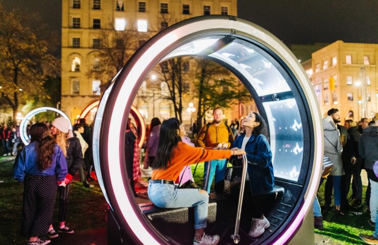 Old Market Square, Bijou Park, Waterfront Drive and The Forks (Railway Bridge)
Loop, Cycle, Passage & Eyes at Nuit Blanche
-
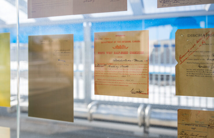 Markham Station
Métis Land Use
-
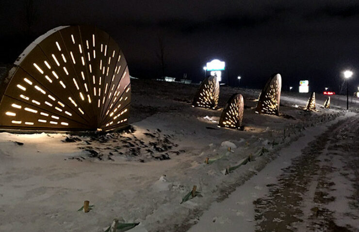 Waverley Underpass AT Path
OUTCROPPINGS
-
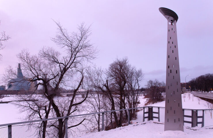 Taché Promenade
PHARE OUEST (FAR WEST)
All artworks featured have been created since the inception of the Public Art Policy and Program in 2004, and are part of the evolving Collection of the City of Winnipeg unless otherwise noted.


